No. 7442, Jalan Bagan Lalang, Taman Carissa Villa, 13400 Butterworth, Penang, Malaysia.
| Tel | : | (604) 305 1781 |
 |
(6012) 436 6711 | |
| marketing@lnbtec.com | ||
| https://www.lnbtec.com | ||
| Business Hours : | ||
Mon - Fri |
||
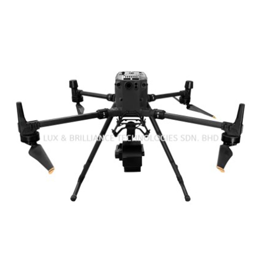
Carrying drones to explore more possibilities
FS60 UAV hyperspectral measurement system adopts high signal-to-noise ratio and ultra-high speed CCD imaging device to provide high stability spectral image acquisition; The self-developed high-efficiency and low-power image processing algorithm greatly prolongs the flight time of the whole machine and reduces the power consumption of the system.
Through real-time measurement of spectral image information of plants, water, soil and other ground objects, it is applied to precision agriculture, crop growth and yield evaluation, forest pest monitoring and fire prevention monitoring, coastline and marine environment monitoring, lake and watershed environment monitoring and other applications.
The system has compact design and high spectral resolution of imaging spectrometer host. Complete machine composition: high stability PTZ, hyperspectral imager, large capacity storage system, wireless image system, GPS navigation system, ground receiving workstation and ground control system.
Spectral range: 400-1000nm
Maximum load: 10kg
Maximum flight endurance: 60 minutes (3kg load)
Remote intelligent control app, Bluetooth connection
Working distance of ground station: radius 10km
Hyperspectral camera features
Spectral band range: 400-1000nm
Spatial dimension resolution: 1920
Maximum number of spectral bands: 1920
Spectral resolution: 2.5nm
Perfect compatibility of multiple data formats
UAV features
Maximum flight endurance: 60 minutes (3kg load)
Maximum load: 10kg
It is easy to operate without professional UAV operator, and can be operated by one person
Measurement characteristics of airborne system
Through the ground station, the sampling location of the aircraft can be observed in real time, and the ground station can be used to set the route collected point by point
Data preview and correction functions: radiance correction, reflectivity correction and area correction support batch processing
Real time common vegetation index calculation function
Support user-defined real-time analysis model input function
Application area
① Geological and mineral resources survey ② precision agriculture, crop growth and yield assessment ③ forest pest monitoring and fire prevention monitoring ④ coastline and marine environment monitoring ⑤ grassland productivity and grassland monitoring ⑥ lake and watershed environment monitoring ⑦ remote sensing teaching and scientific research ⑧ meteorological research ⑨ ecological environment protection and mine environment monitoring ⑩ water quality detection, Soil monitoring ⑪ quality detection of agricultural and livestock products ⑫ military, national defense and homeland security ⑬ disaster prevention and control